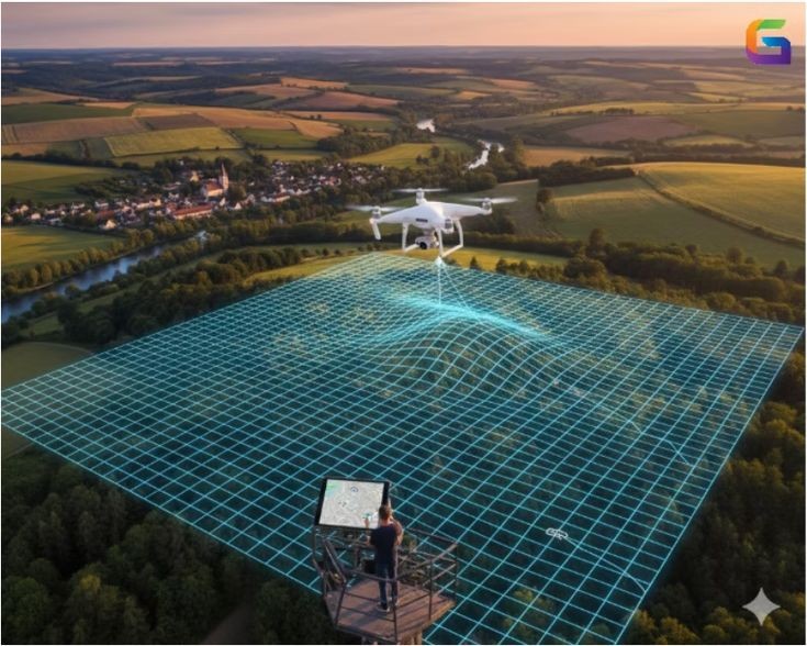
The Future of Drone Mapping in 2026
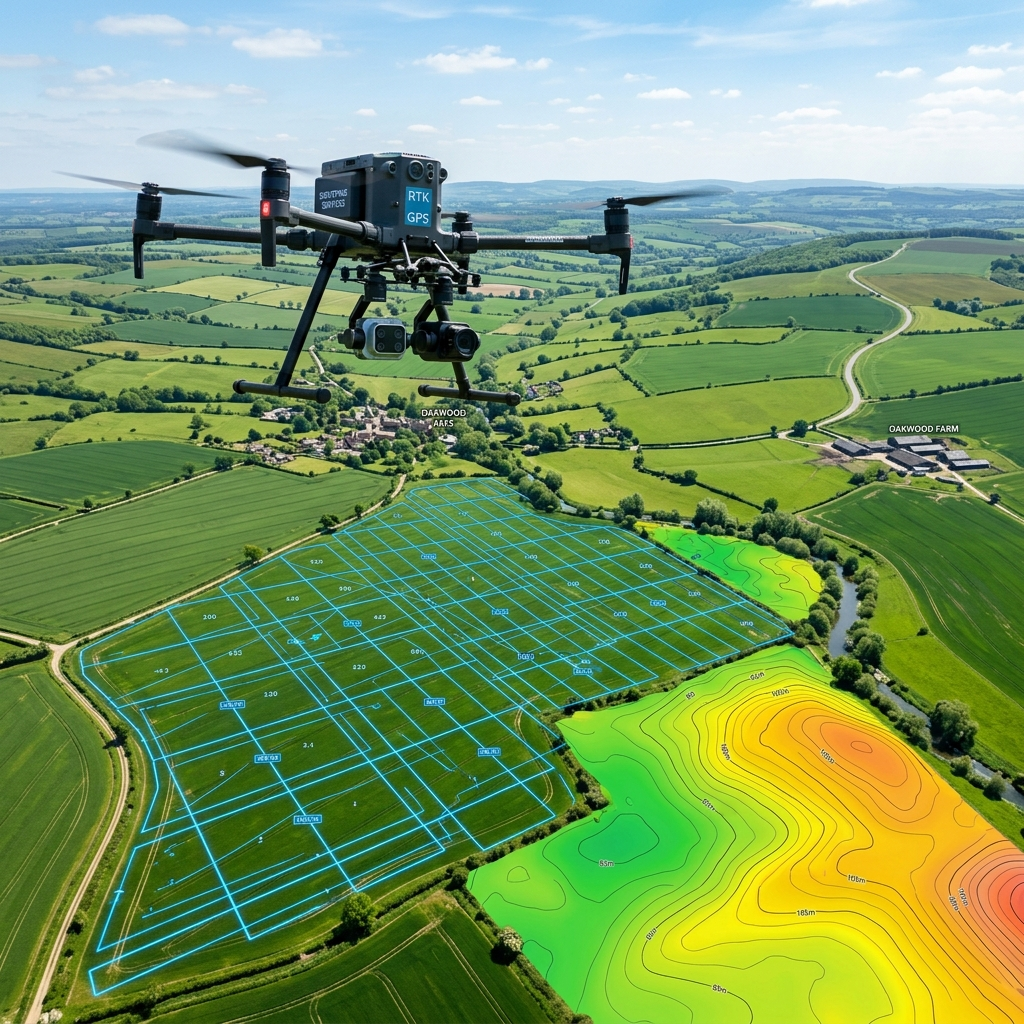
How high-precision RTK drones are revolutionizing large-scale infrastructure projects across India.
From topographic surveys to complex GIS analysis, we provide end-to-end geospatial solutions.
We provide specialized geospatial solutions across diverse sectors, ensuring precision and compliance for every project.
A proven, four-step methodology ensuring precision and reliability at every project stage.
Deploying GNSS, Drone, and LiDAR sensors for rapid high-density data acquisition.
Advanced photogrammetry and point cloud reconstruction using specialized software.
Terrain modeling, contour generation, and feature extraction by expert engineers.
Ready-to-use CAD/GIS data and comprehensive reporting delivered securely.
We combine cutting-edge technology with decades of field expertise to deliver precision you can trust.
Millimeter-level precision for critical engineering and legal surveys.
Utilizing the world's most advanced geospatial hardware ecosystems.
Rapid field data collection and cloud-based processing for quick turnarounds.
Certified survey engineers with extensive experience in Karnataka's terrain.
Real-world impact through precision geospatial solutions across Karnataka.
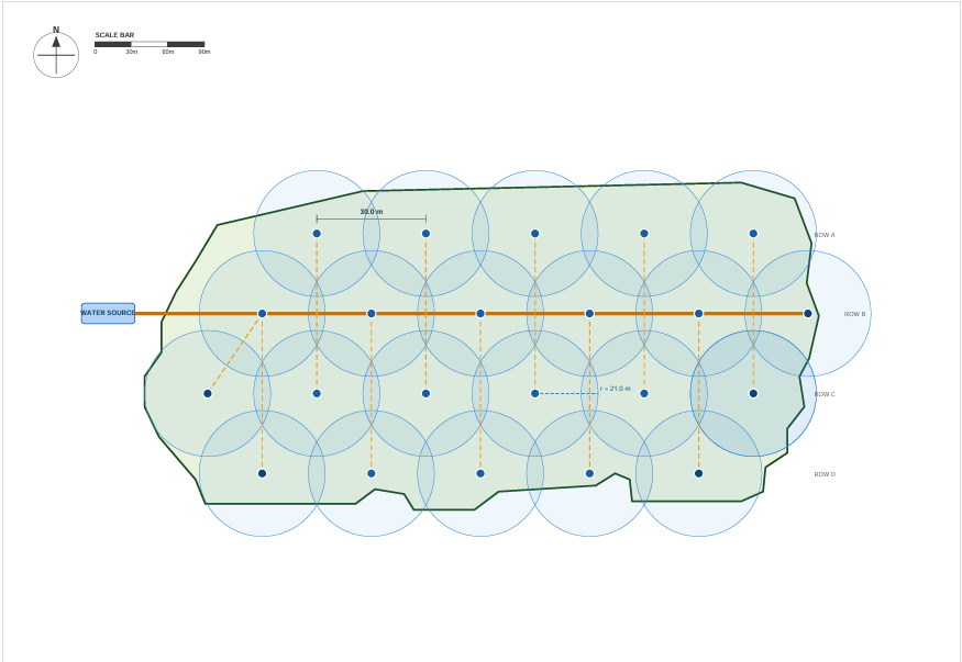 Agricultural Irrigation
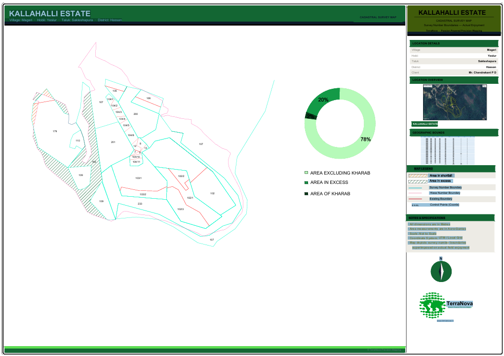 Boundary Analysis
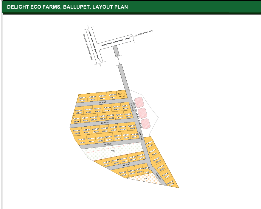 Layout Planning
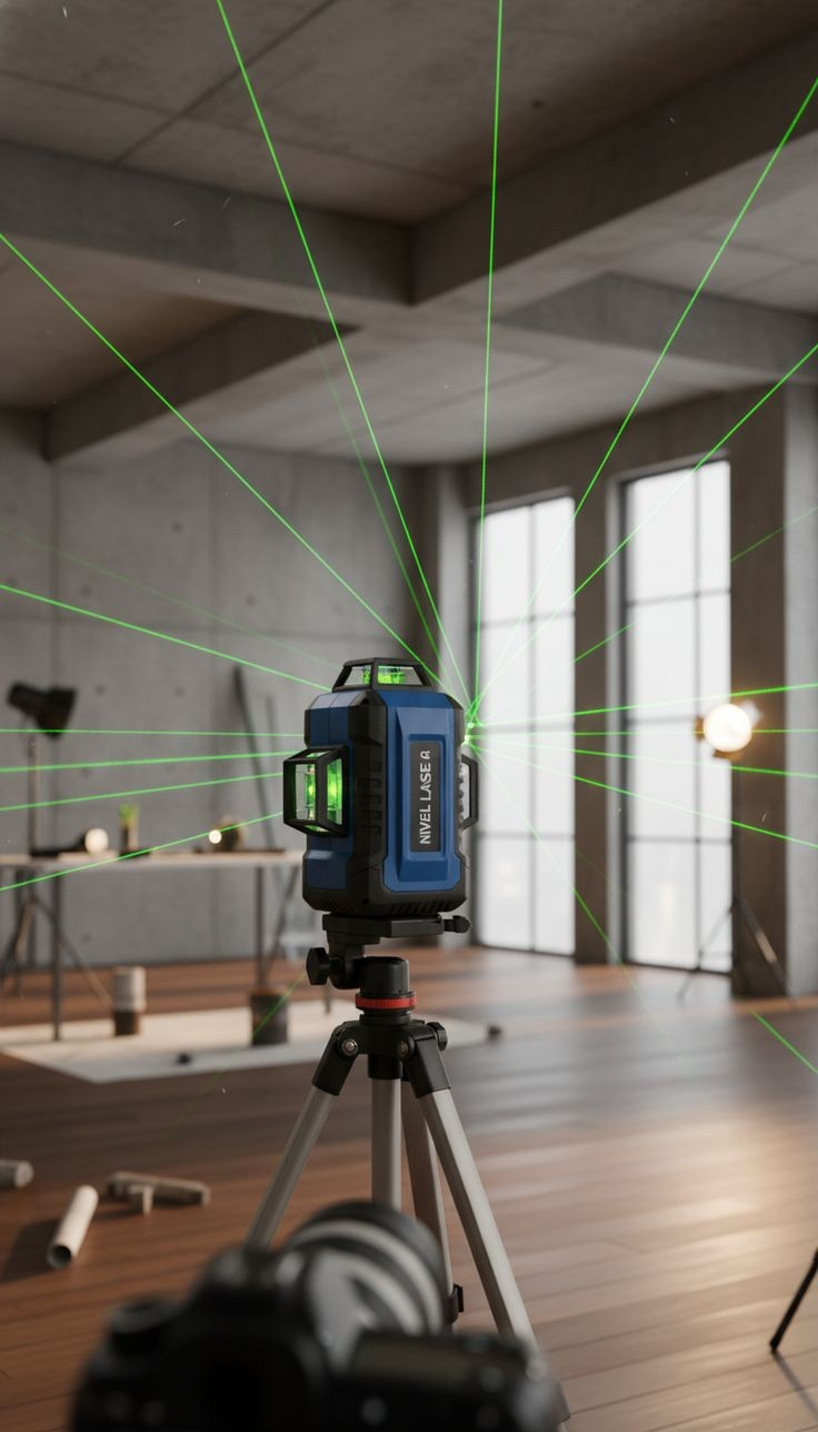
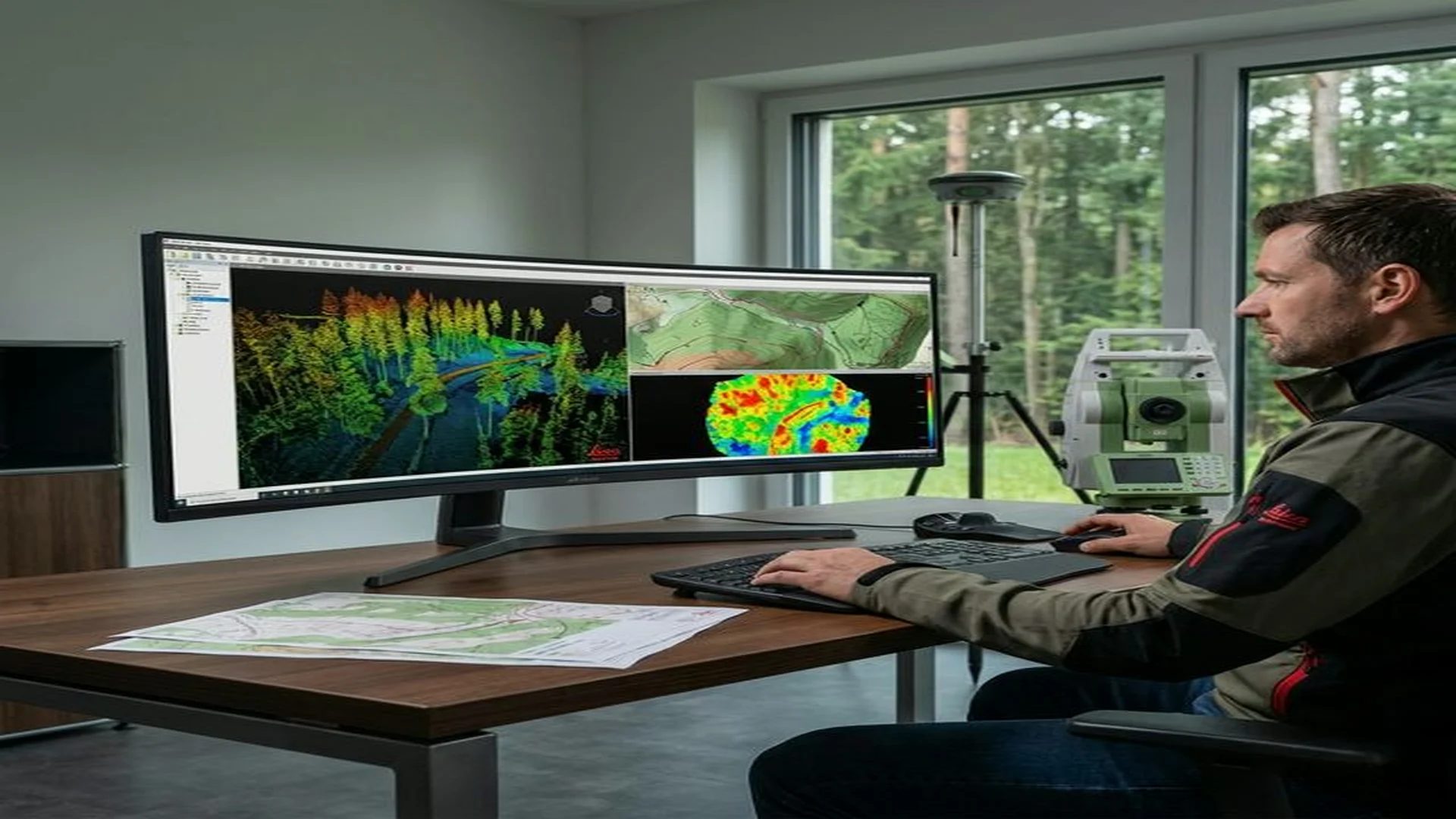
Raw data is just the beginning. We transform millions of points into actionable insights through sophisticated GIS workflows and 3D modeling.
We invest in the world's most advanced geospatial hardware to ensure mission-critical reliability.
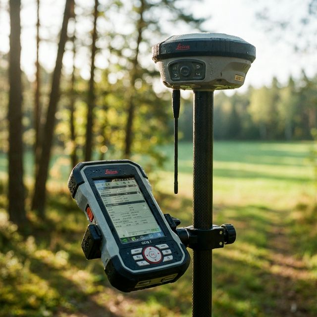
Multi-frequency RTK GNSS receivers tracking 1400+ satellite channels with sub-cm precision.
Commercial survey quadcopters equipped with 45MP mechanical shutters for photogrammetry.
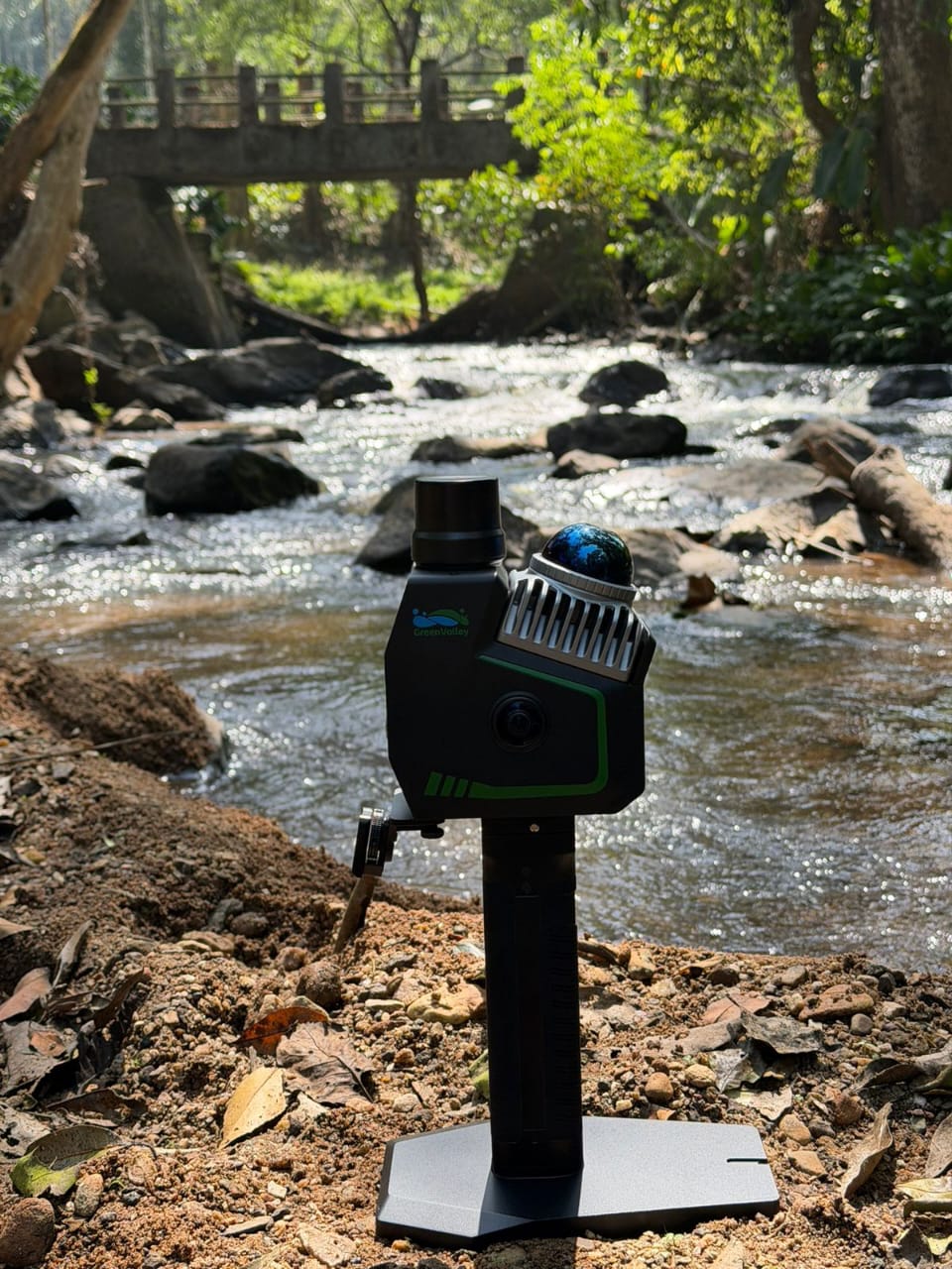
Handheld SLAM LiDAR sensors generating high-density point clouds in GPS-denied environments.
High-performance GIS workstations producing CAD engineering drawings and 3D mesh models.
See why major infrastructure projects in Karnataka trust TerraNova's precision-first approach.
| Criterion | Conventional | TerraNova Advanced |
|---|---|---|
| Accuracy | ±1-3m (Manual Tools) | ±4-5mm DGPS · mm-level LiDAR |
| Speed | Days per Site | Hours per Site |
| Coverage | Limited by Terrain Access | Full Aerial & Ground Coverage |
| Vegetation | Blocked by Dense Canopy | LiDAR Penetrates Canopy |
| Data Output | 2D Drawings & Paper Maps | DTM, DSM, 3D Models, GIS-ready |
| Field Risk | High — Hazardous Conditions | Low — UAV Covers Unsafe Areas |
| Cost Efficiency | High Manpower & Time | Reduced Crew, Faster Delivery |
Watch how TerraNova utilizes cutting-edge drone and LiDAR technology to deliver unmatched geospatial intelligence.
Trusted by industry leaders for precision geospatial data and reliable survey consulting.
"TerraNova's drone mapping services were a game-changer for our infrastructure project. The accuracy and speed exceed all our expectations."
"The LiDAR data they provided for our heritage restoration project was incredibly detailed. Their technical knowledge is unmatched in Bangalore."
"Their DGPS boundary measurement saved us weeks of legal verification for our coffee estate in Hassan. Highly professional and accurate team!"
Get in touch with our expert surveyors today for a precision consultation and custom project estimate.
Stay updated with the latest trends in land surveying, drone technology, and GIS analysis.
How high-precision RTK drones are revolutionizing large-scale infrastructure projects across India.
Turning raw surveying points into actionable business intelligence for property developers.
Which technology is right for your next survey project? A comprehensive comparison guide.
Visual highlights from our high-precision field operations across various industries.
Common queries about our surveying technology and geospatial data services.
Contact our experts today for a consultation or request a personalized quote.