Our Surveying Equipment
Enterprise-grade GNSS, LiDAR, and UAV hardware specialized for the Indian terrain.
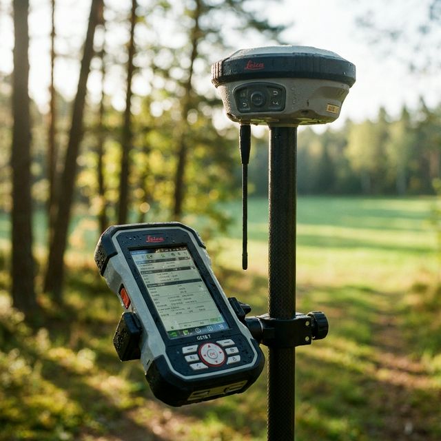
High-Precision GNSS Receiver
Sub-centimeter accuracy for land surveying and construction layout applications. Equipped with a 1408-channel tracking engine and IMU for 60° tilt compensation.
- 1408 channels tracking all systems
- IMU-based tilt compensation
- IP68 waterproof and dustproof
- Built-in UHF radio
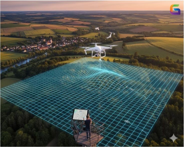
Enterprise Survey Drone
High-resolution aerial mapping and topographic data collection with built-in RTK technology. Capture crisp, distortion-free images safely and efficiently.
- Integrated RTK module
- 45MP full-frame mechanical shutter
- 45 minutes max flight time
- Omnidirectional obstacle sensing
Robotic Total Station
Ultra-fast tracking and precision EDM for advanced site layout and structural monitoring. Stay locked onto the prism even in heavy machinery environments.
- Automatic prism tracking up to 800m
- Reflectorless measurement up to 1000m
- Large ruggedized touchscreen
- One-person operation workflow

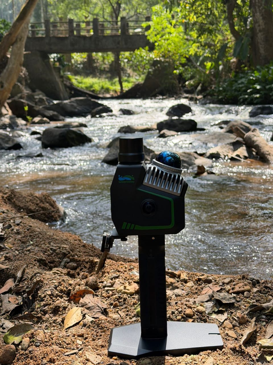
LiGrip O2 Lite LiDAR Scanner
Handheld SLAM mapping for rapid, high-accuracy 3D data collection. Perfect for reality capture in environments where GPS is unavailable.
- 3cm Absolute Accuracy
- MLF-SLAM Algorithm
- 120m / 300m Scanning Range
- 5-Camera Panoramic System